William of Worcester's Chronicle of England
William of Worcester, born around 1415, and died around 1482 was secretary to John Fastolf, the renowned soldier of the Hundred Years War, during which time he collected documents, letters, and wrote a record of events. Following their return to England in 1440 William was witness to major events. Twice in his chronicle he uses the first person: 1. when writing about the murder of Thomas, 7th Baron Scales, in 1460, he writes '… and I saw him lying naked in the cemetery near the porch of the church of St. Mary Overie in Southwark …' and 2. describing King Edward IV's entry into London in 1461 he writes '… proclaimed that all the people themselves were to recognize and acknowledge Edward as king. I was present and heard this, and immediately went down with them into the city'. William’s Chronicle is rich in detail. It is the source of much information about the Wars of the Roses, including the term 'Diabolical Marriage' to describe the marriage of Queen Elizabeth Woodville’s brother John’s marriage to Katherine, Dowager Duchess of Norfolk, he aged twenty, she sixty-five or more, and the story about a paper crown being placed in mockery on the severed head of Richard, 3rd Duke of York.
Available at Amazon in eBook and Paperback format.
Avebury Outer Stone Circle Extant Stones is in Avebury Outer Circle.

1938-39. Alexander Keiller's Slides. General view of the excavation of Stone 4 [Map] in the south west sector of the henge at Avebury showig the inner face.

1938-39. Alexander Keiller's Slides. General view of the excavation of Stone 4 [Map] in the south west sector of the henge at Avebury.

1938-39. Alexander Keiller's Slides. General view of Stone 5 [Map] in the south west sector of the henge at Avebury, showing the inner face.

1938-39. Alexander Keiller's Slides. General view of Stone 5 [Map] in the south west sector of the henge being supported by ropes during its re-erection at Avebury.

1938-39. Alexander Keiller's Slides. General view of the excavation of Stone 5 [Map] in the south west sector of the henge at Avebury.
Keiller's Slides TR000085. 1938. General view of the re-erection of stone 6 [Map] in the south west sector of the henge at Avebury.
Keiller's Slides TR000083. 1938. General view of the re-erection of stone 6 [Map] in the south west sector of the henge at Avebury, showing the use of pullys.

1938-39. Alexander Keiller's Slides. General view of Stone 7 [Map] in the south west sector of the henge at Avebury, showing the inner face.

1938-39. Alexander Keiller's Slides. General view of the excavation of Stone 10 [Map] in the south west sector of the henge at Avebury showing its inner face.
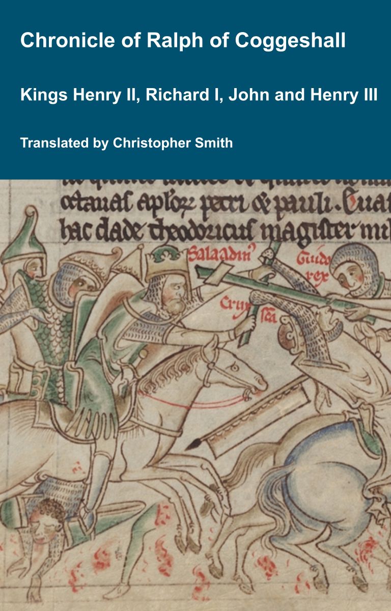
Chronicle of Abbot Ralph of Coggeshall
The Chronicle of Abbot Ralph of Coggeshall (Chronicon Anglicanum) is an indispensable medieval history that brings to life centuries of English and European affairs through the eyes of a learned Cistercian monk. Ralph of Coggeshall, abbot of the Abbey of Coggeshall in Essex in the early 13th century, continued and expanded his community’s chronicle, documenting events from the Norman Conquest of 1066 into the tumultuous reign of King Henry III. Blending eyewitness testimony, careful compilation, and the monastic commitment to record-keeping, this chronicle offers a rare narrative of political intrigue, royal power struggles, and social upheaval in England and beyond. Ralph’s work captures the reigns of pivotal figures such as Richard I and King John, providing invaluable insights into their characters, decisions, and the forces that shaped medieval rule. More than a simple annal, Chronicon Anglicanum conveys the texture of medieval life and governance, making it a rich source for scholars and readers fascinated by English history, monastic authorship, and the shaping of the medieval world.
Available at Amazon in eBook and Paperback format.

1938-39. Alexander Keiller's Slides. General view of the excavation of Stone 10 [Map] before its re-erection in the south west sector of the henge at Avebury.

1938-39. Alexander Keiller's Slides. General view of Stone 12 [Map] in the south west sector of the henge at Avebury, showing the inner face.

1938-39. General view of two man using a water spray to clean Stone 16 [Map] in the south west sector of the henge at Avebury, showing the inner face.

1938-39. Alexander Keiller's Slides. General view of the excavation of Stone 16 [Map] in the south west sector of the henge at Avebury.

1938-39. General view of Stone 24 [Map] during its re-erection in the south west sector of the henge at Avebury.

1938-39. General view after restoration of Stone 24 [Map] in the south west sector of the henge at Avebury.
1937. Avebury Outer Circle Stone 35 [Map] during re-erection.


Caption on reverse of the photo: "1909. Two of the great sarsen standing stones [Avebury Outer Circle Stone 46 aka Swindon Stone [Map]] of the outer circle situated at the north of the circle a few feet to the west of the road leading out of Avebury to Swindon. Looking east-north-east, the vallum [bank] being seen beyond the trees". The person in the photo is Harold St George Gray.


Before 1937. Avebury Outer Circle Stone 46 aka Swindon Stone [Map].

1937. Avebury Outer Circle Stone 46 aka Swindon Stone [Map] during excavation and re-erection.

Taking the Centre of the Henge as where the lines between the entrances cross then a line drawn from the Centre to the extant stone [Map] in the north-east quadant is aligned to the Midwinter Sunset and Midsummer Sunrise - the magenta line on the Schematic.

