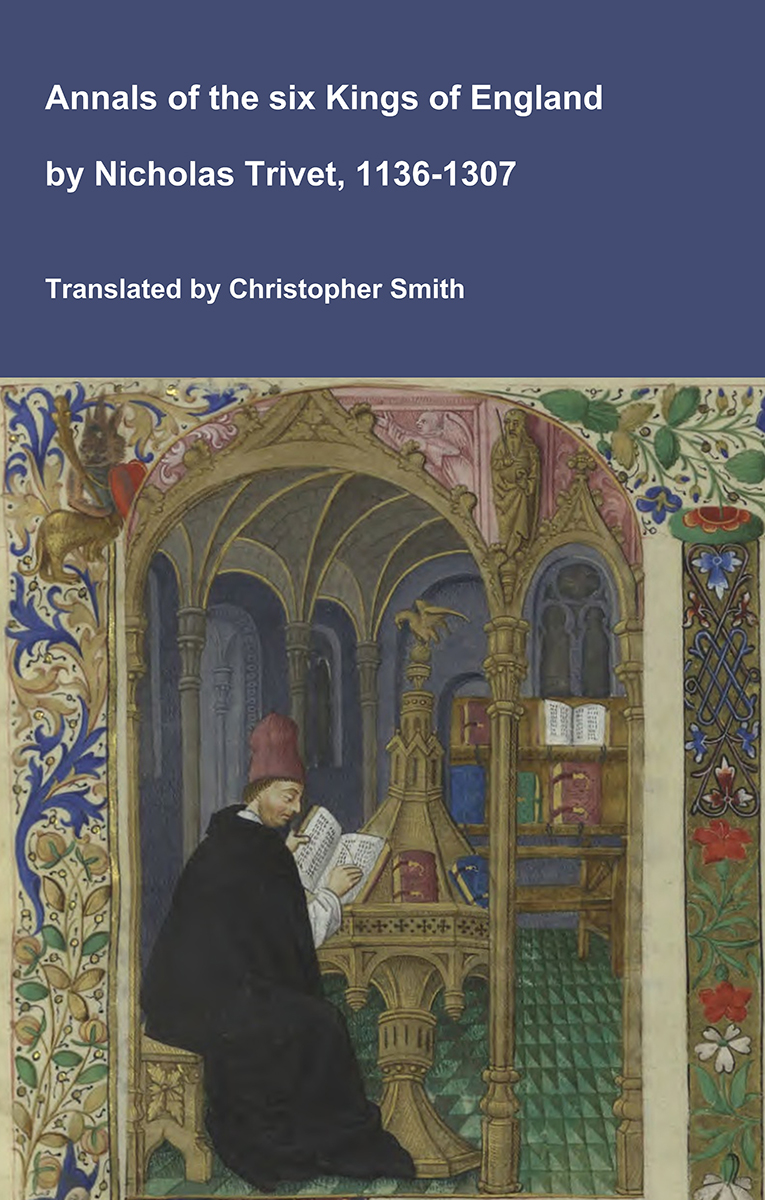
Annals of the six Kings of England by Nicholas Trivet
Translation of the Annals of the Six Kings of England by that traces the rise and rule of the Angevin aka Plantagenet dynasty from the mid-12th to early 14th century. Written by the Dominican scholar Nicholas Trivet, the work offers a vivid account of English history from the reign of King Stephen through to the death of King Edward I, blending political narrative with moral reflection. Covering the reigns of six monarchs—from Stephen to Edward I—the chronicle explores royal authority, rebellion, war, and the shifting balance between crown, church, and nobility. Trivet provides detailed insight into defining moments such as baronial conflicts, Anglo-French rivalry, and the consolidation of royal power under Edward I, whose reign he describes with particular immediacy. The Annals combines careful year-by-year reporting with thoughtful interpretation, presenting history not merely as a sequence of events but as a moral and political lesson. Ideal for readers interested in medieval history, kingship, and the origins of the English state, this chronicle remains a valuable and accessible window into the turbulent world of the Plantagenet kings.
Available at Amazon in eBook and Paperback format.
Iron Age Tribes is in Iron Age.
Stane Street to Chichester is a 91km Roman Road from Noviomagus Reginorum [Map] aka Chichester to London crossing the land of the Atrebates in use by 70AD. Its route took it from London Bridge [Map] along Newington Causeway [Map] past Merton Priory, Surrey [Map] to Ewell [Map], through Sutton, Surrey [Map], past the boundary of Nonsuch Palace [Map] to Thirty Acre Barn, Surrey [Map], then near to Juniper Hall Field Centre, Surrey [Map] near Mickleham, then crossing the River Mole near to Burford Bridge [Map] southwards to Dorking, Surrey [Map] (although the route here is vague) to North Holmwood, Surrey [Map], Ockley, Surrey [Map], Rowhook, Surrey [Map] after which it crossed the River Arun at Alfodean Bridge, Surrey [Map] where some of the timber piles on which the bridge was built are still present in the river bed. Thereafter the road travels broadly straight to Billingshurst [Map], Pulborough [Map] where it crosses the River Arun again, then passing the Roman Villa at Bignor [Map] before entering the East Gate [Map] at Noviomagus Reginorum aka Chichester.
20BC. Verlamion, Hertfordshire [Map] was an Iron Age settlement of the Catuvellauni.
Braughing, Hertfordshire [Map] was a small Roman Town at the junction of Ermine Street and Stane Street to Colchester. There was a planned street grid where thatched timber buildings, which lasted until about AD 60, were constructed. Not long afterwards substantial masonry structures were also constructed, including an L-shaped building with bath suite which was still in use in the 4th century. Coins of Tasciovanus (c. 20BC - AD10) are known from the site identifying an associated with the Catuvellauni. The final Roman coin evidence from the site is associated with Arcadius (AD383 - 408).
Corieltauvi settlement.
The capital of the Corieltauvi was Ratae Corieltauvorum aka Leicester, Leicestershire [Map].
Around 70AD. Lindum Colonia aka Lincoln, Lincolnshire [Map] was founded as a Roman Legionary Fortress during the reign of the Emperor Nero. Evidence from Roman tombstones suggests that Lincoln was first garrisoned by the Ninth Legion Hispana which was subseuqntly replaced by the Second Legion Adiutrix, which then went on to Deva [Map] in 77-78 AD. The primary evidence that modern Lincoln was referred to as Lindum comes from Ptolemy's Geography, which was compiled in about 150 AD, where Lindum is referred to as a polis or town within the tribal area of the Corieltauvi.
Durobrivae was a Roman fortified garrison town at Water Newton [Map] where Ermine Street crossed the River Nene in the territory of the Corieltauvi.
In the Roman period, Ilchester, Somerset [Map] was named Lindinis and was the site of a fort and then a town on the Fosse Way. It eventually served as one of two regional capitals for the Durotriges tribe.
The Deeds of the Dukes of Normandy
The Gesta Normannorum Ducum [The Deeds of the Dukes of Normandy] is a landmark medieval chronicle tracing the rise and fall of the Norman dynasty from its early roots through the pivotal events surrounding the Norman Conquest of England. Originally penned in Latin by the monk William of Jumièges shortly before 1060 and later expanded at the behest of William the Conqueror, the work chronicles the deeds, politics, battles, and leadership of the Norman dukes, especially William’s own claim to the English throne. The narrative combines earlier historical sources with firsthand information and oral testimony to present an authoritative account of Normandy’s transformation from a Viking settlement into one of medieval Europe’s most powerful realms. William’s history emphasizes the legitimacy, military prowess, and governance of the Norman line, framing their expansion, including the conquest of England, as both divinely sanctioned and noble in purpose. Later chroniclers such as Orderic Vitalis and Robert of Torigni continued the history, extending the coverage into the 12th century, providing broader context on ducal rule and its impact. Today this classic work remains a foundational source for understanding Norman identity, medieval statesmanship, and the historical forces that reshaped England and Western Europe between 800AD and 1100AD.
Available at Amazon in eBook and Paperback format.
Venta Icenorum was the capital of the Iceni tribe, located at modern-day Caistor St Edmund [Map] in Norfolk.