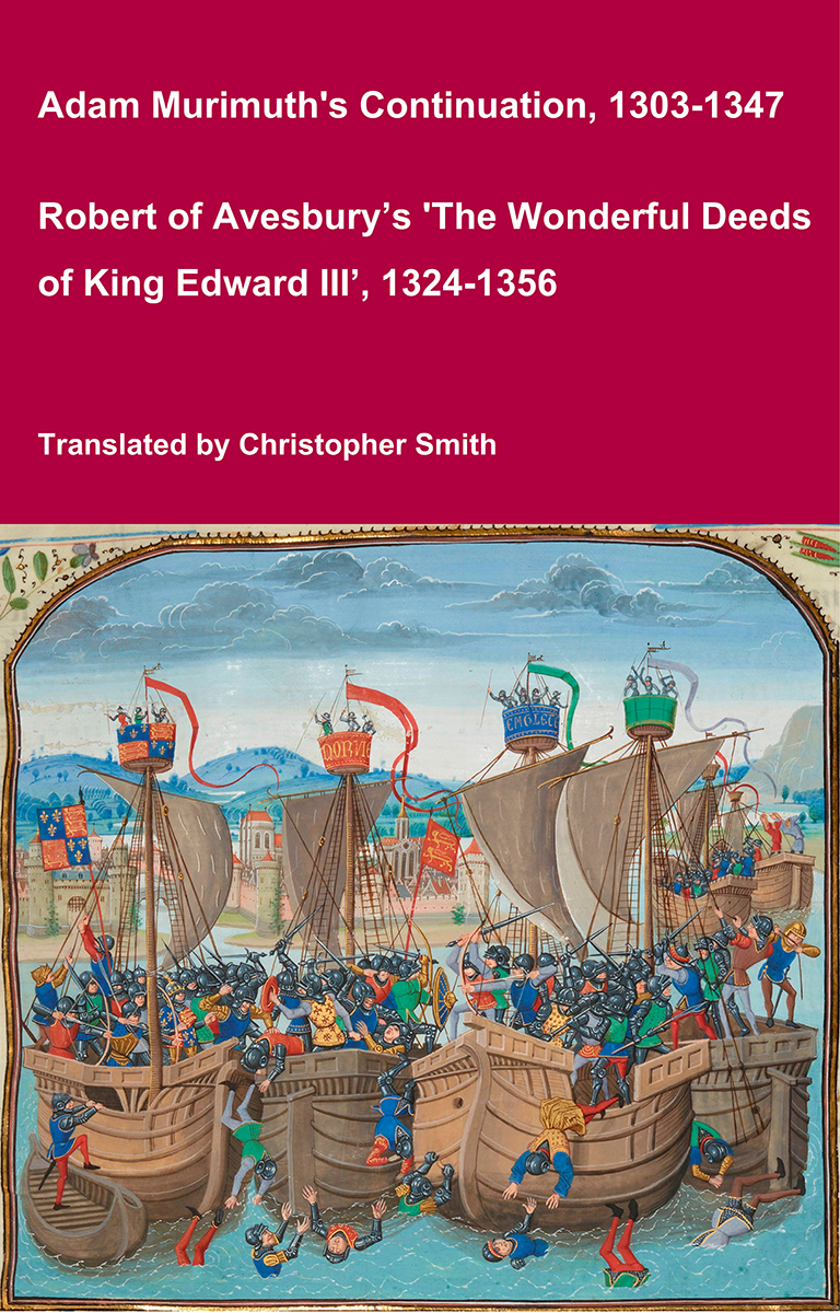
Adam Murimuth's Continuation and Robert of Avesbury’s 'The Wonderful Deeds of King Edward III'
This volume brings together two of the most important contemporary chronicles for the reign of Edward III and the opening phases of the Hundred Years’ War. Written in Latin by English clerical observers, these texts provide a vivid and authoritative window into the political, diplomatic, and military history of fourteenth-century England and its continental ambitions. Adam Murimuth Continuatio's Chronicarum continues an earlier chronicle into the mid-fourteenth century, offering concise but valuable notices on royal policy, foreign relations, and ecclesiastical affairs. Its annalistic structure makes it especially useful for establishing chronology and tracing the development of events year by year. Complementing it, Robert of Avesbury’s De gestis mirabilibus regis Edwardi tertii is a rich documentary chronicle preserving letters, treaties, and official records alongside narrative passages. It is an indispensable source for understanding Edward III’s claim to the French crown, the conduct of war, and the mechanisms of medieval diplomacy. Together, these works offer scholars, students, and enthusiasts a reliable and unembellished account of a transformative period in English and European history. Essential for anyone interested in medieval chronicles, the Hundred Years’ War, or the reign of Edward III.
Available at Amazon in eBook and Paperback format.
Standing Stones is in Neolithic Monuments.
Between 5000BC and 4000BC. The Menhir de Champ-Dolent [Map] is a menhir, or upright standing stone, located in a field outside the town of Dol-de-Bretagne. It is the second largest standing stone in Brittany and is over 9 metres high.
4700BC. The broken Menhir Er Grah [Map], erected around 4700 BC at the same time as another 18 blocks nearby, is thought to have been broken around 4000 BC. Measuring 20.60 metres (67.6 ft) and with a weight of 330 tons, the stone is from a rocky outcrop located several kilometres away from Locmariaquer. The impressive dimensions of this menhir still divide specialists about the techniques used for transport and erection, but the fact that this was achieved during the Neolithic era remains remarkable. See Standing Stones.
La Moye aka Quesnel Menhir [Map] was a menhir, 12 or 16ft high, the tallest of Jersey. It was destroyed between 1870 and 1878.